The survey fixes river connections, crossings and the relative position of the holds. Altitudes are approximate worldbuilding references; lines and distances are schematic, not measured travel distances. Select a territory or use the House records below. House borders, ancestry and sworn allegiance remain distinct.
LAND, LIVELIHOOD & INHERITANCE
Why each House became itself.
HOUSE VESPUCCI · Western harbours
The Lantern Coast
Principal hold: Porto Vela
Climate & atmosphere
Cold, storm-driven winters on the northern Lantern Coast; frost and snow visit the high northern holds. Southward, Porto Vela has mild, wet maritime winters and warm summers. The sea moderates the port, but does not spare the northern cliffs.
Terrain & defences
Sheltered inlets, tidal marshes and the lower Avel estuary. Deep water reaches the quays while inland shoals reward local pilots.
Altitude & settlement
Northern cliff holds descend from roughly 700 m to sea level; Porto Vela lies on a low estuary terrace, above ordinary high tide.
Resources & dependence
Salt, fisheries, shipyards, warehouses and customs from overseas trade. Grain, cattle and timber arrive from other Houses.
Strongest trade ties
Bambino supplies food, hides and draft stock; Garbonzo sells mast timber through Marino even across the faction divide. Fachelli buys imported luxuries and pays in gold.
Culture & power
A fleet connects scattered ports into one faction. Pilots, shipwrights and merchants make leadership depend on useful alliances as well as force. Bambino’s neighbouring cattle valleys supply food, leather and draft animals; marriage and oath secure this shared corridor.
The reason for the sigil
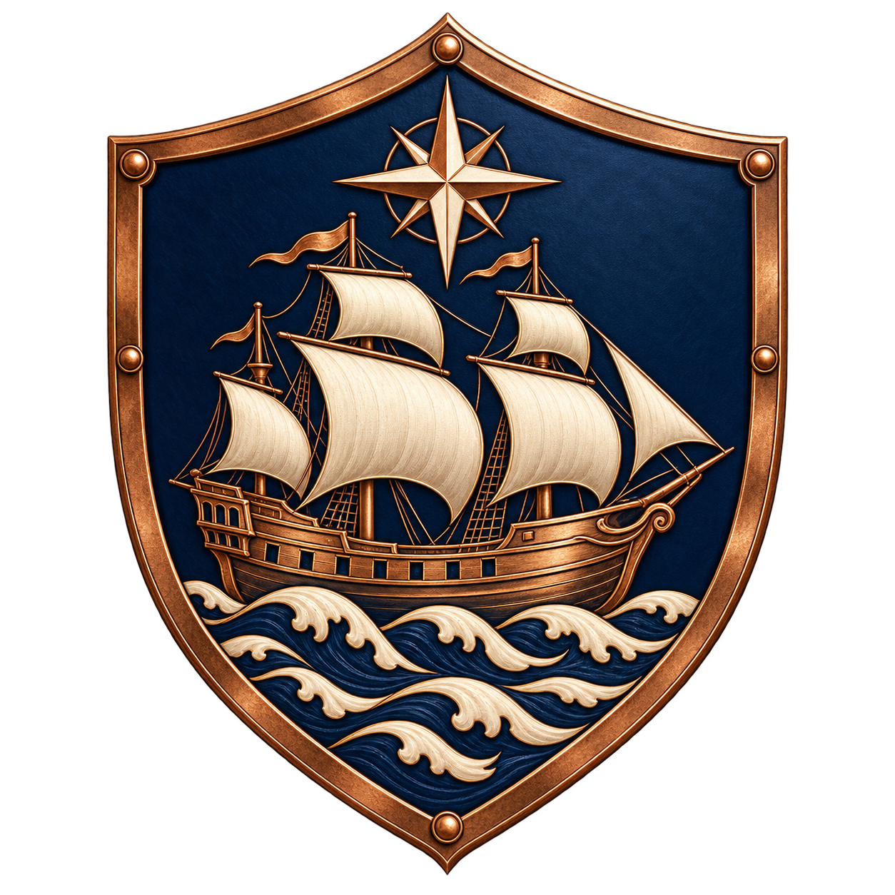
The ship is the source of Vespucci reach and wealth. The guiding star belongs to navigation and the Starwatch light above the harbour approach.
A tradition to build on
Voyage ledgers record debts, cargo and promises made abroad. A departing crew names the households that will be supplied on its return.
Music & oral tradition
Call-and-response hauling songs, bells marking departures and verses naming absent crews. A future battle song needs an accepted event, not just a map icon.
Other places: Starwatch lighthouse · Northquay, northern coastal landing · Lower Avel quays · The western shipping lane
The First Reckoning is this world’s own calendar. Year 312 fixes the map’s political snapshot; it does not date individual battles or establish the year of the later Ashen Compact. This ancestral era precedes later game chapters in the shared Fachelli chronology. Skyrim and other game settings retain their own geography and calendars.
This atlas establishes the named homeland, holds, physical geography, routes and battlefield locations for future stories. The previous House allegiances remain controlling. The founding register names the first recorded elders and two Vespucci–Bambino marriages. Battlefield sites are reserved for later historical accounts; their dates, commanders and outcomes, and the individual signatories and dates of the Doom-era union, remain unrecorded. The eruption of Cenerath, the Ashen Compact and the exodus are established.
High northern holds, warm southern valleys
The northern Garbonzo holds endure the worst winters. Northern Luciani and Vespucci also receive snow, with milder conditions farther south. Bambino’s sheltered Torca Vales have warm summers and mild, rainy winters. Altitude and exposure sharpen this north-to-south gradient; the northern snow belt never extends into Bambino’s lowlands.
Cenerath, before the Doom
The great northern volcano stands quiet in this 312 FR map. Its later eruption begins the Doom Ages: the survivors unite under the Fachelli crest and flee Vardessa. Read the Ashen Compact and the exodus ↗
Water follows the land
Moist sea air reaches the western coast and rises over the highlands. Snow and rain feed the Avel; the river descends through Marino’s crossing toward Vespucci’s port. Sheltered upland basins support Garbonzo’s hardy crops and timber. The southeastern rain shadow leaves Lombardo with poorer soils and a greater dependence on work, contracts and predation beyond its own lands.
Geography creates advantages and dependencies. It does not excuse a betrayal or dictate a character’s choices. The Fachelli treasury also rests on inherited estates and toll rights; Garbonzo loyalty does not earn equal respect, and shared Vespucci–Bambino interests do not prevent later conflict.
SOURCES → FALLING GROUND → OUTLETS
Follow the water.
Upper Avel → Lower Avel → Lantern Sea
Source: Snow and rain in northern Garbonzo’s Greyspine basin, above 2,000 m
Headwater rills gather into one channel, descend southwest through an open valley, receive the eastern spring tributary above Ponteaccordo, and continue west to the tidal estuary at Porto Vela.
Outlet: Lantern Sea · sea level
Upper gorges carry runoff and small timber floats under supervision, not regular cargo barges. The gentle lower reach supports barges between Ponteaccordo and the port.
Crown Heights springs → Avel
Source: Limestone springs below the eastern escarpment, around 300 m
A short stream flows west down its valley, crosses the Whitecut quarry spur at Red Ford and joins the Avel upstream of Ponteaccordo.
Outlet: Avel → Porto Vela → Lantern Sea
The ford is shallow in ordinary conditions. Spring floods and heavy rain suspend crossing; quarry traffic waits; the main Giltway remains on the southern bank.
Torca → southern coast
Source: Rain and springs on the low inland Torca ridges, below 300 m
A separate small watershed drains southwest through warm grazing meadows. Low ridges divide it from the Avel basin to the north.
Outlet: Lantern Sea on the southwestern coast
Local bridges carry stock trails above the stream; this is a mill and irrigation watercourse, not a cargo route.
Ironwake storm gullies → southern coves
Source: Rain on the dry southeastern hills, around 250–450 m
Short, seasonal channels run downhill to the southern shore. They are gullies that may be dry, not permanent rivers ending inland.
Outlet: Southern Lantern Sea, including Blackkeel Cove
Flash runoff can close the Keelcut Track. Cisterns, purchased water and protected wells matter more than a navigable river.
Rivals at court. Partners at market.
In peacetime every House may trade with every other House. The strongest partners shape local work and customs; they are not exclusive trading permissions. Rival banners do not automatically close a market. War may raise escort costs, suspend a bridge, impose a blockade or move cargo through a broker, but any particular embargo or treaty must belong to a recorded event. The network carries resources and services in both directions.
Garbonzo timber reaches Vespucci shipyards through Marino. Bambino livestock feeds western ports and inland courts. Fachelli gold pays for imported goods; Luciani correspondence and Lombardo escorts serve customers on either side. These dependencies give every truce a practical value.
THE MOVEMENT OF GOODS, NEWS & ARMED COMPANIES
Roads and waterways.
Giltway
Crownspire → Ponteaccordo → Porto Vela
Named for the thin gleam of gold carried west in guarded consignments. It follows the Avel’s south-bank terraces from the port to Ponteaccordo, uses Three-Oath Bridge for the northern market approach, then climbs the eastern escarpment by switchbacks. The Whitecut Spur leaves the eastern road for Quarry Gate and crosses the spring-fed tributary at Red Ford; floods close that spur. Gold, stone and orchard produce travel west; salt, cloth and imports return east.
Hearthbound Way
Orsava Hold → Crownspire
Named for loaded wagons returning before the upland hearth fires are lit. The road follows the lower eastern mountain shoulder, descending in bends from Orsava to Crownspire rather than crossing the Greyspine crest. Timber, wool and hardy grain go south; coin, oil and fine goods return north. Heavy snow interrupts the northern approach; provisions must be stored before closure.
Brinebell Road
Torcavalle ↔ Porto Vela
Named for the sound of herd bells mingling with brine carts. The warm coastal terrace road connects Torcavalle to Porto Vela without crossing the northern mountains or tidal marsh channels. Stock, hides and grain go to the port; curing salt and imports return inland. Local spurs cross the Torca at established low stone bridges.
Hushway
Ravencleft → Ponteaccordo
The quiet road of sealed messages follows the sheltered ravine below Ravencleft, descending by switchbacks to the north-bank market at Ponteaccordo. Three-Oath Bridge connects it to the main south-bank corridor. Winter closes the high Veiled Pass before it closes this lower road; guides decide when travel is safe.
Last Purse Road
Ironwake → Ponteaccordo; branch to Crownspire
Named for the last hiring purse opened before companies commit to a campaign. It follows dry southern ridges from Ironwake to the central market, with a lower escarpment branch to Crownspire. Repairs and escort contracts travel both ways; grain, leather and reliable water supplies sustain the companies. Hiring never establishes a permanent allegiance.
Keelcut Track
Ironwake → Blackkeel Cove
A steep pack trail cut toward the keels at Blackkeel Cove. It follows a coastal spur in bends above the seasonal gullies. After sudden rain it is unsafe; heavy wagons use the Last Purse Road. Small cargos and smuggled goods move through the cove.
Lantern Circuit
Porto Vela ↔ the Lantern Coast
Named for the beacon-to-beacon circuit used by pilots. Coastal vessels link Porto Vela, Starwatch and Northquay on the colder northern Lantern Coast. Winter storms interrupt northern sailings; warmer southern routes remain milder, never guaranteed safe.
Whitecut Spur
Eastern Giltway → Red Ford → Quarry Gate
Pale quarry dust gives the spur its name. Loaded stone carts descend from Quarry Gate across the spring tributary at Red Ford to join the main road. A flood closes the ford and delays quarry traffic; it need not close the whole east–west corridor.
HOLDS, CROSSINGS & CONTESTED GROUND
Places that leave a mark.
Volcano · the Ashen Crown
Mount Cenerath
A great snow-capped volcano on the northern Greyspine, above the western Orsava headwaters. Its flank streams descend into the upper Avel. It is the highest peak in the mapped Crownlands. The atlas shows Vardessa in 312 FR, before the Doom. Cenerath is quiet in this snapshot. Its later eruption does not change the earlier map into an already ruined landscape. Its later eruption begins the Doom Ages and drives the union and exodus.
Mountain watershed
The Greyspine
The northern highland arc includes Cenerath, the 3,240 m volcano whose flank stream joins the upper Avel. The arc holds snow and feeds the river system. Unoutlined outer ridges remain frontier beyond the mapped House domains. Exposed crests and sheltered basins account for the sharp difference between Luciani passes and Garbonzo grain terraces.
River & trade artery
The Avel
Snowmelt from the northeastern uplands flows southwest into the central riverlands, receives a short tributary from limestone springs at the eastern boundary, then runs west through Ponteaccordo to the Lantern Sea at Porto Vela. The upper Avel is steep and unsuitable for cargo barges. Only the lower, gentler reach between Ponteaccordo and Porto Vela carries regular barge traffic; upstream boats require towing or poling. No river divides uphill or ends inland without an outlet.
Western sea
The Lantern Sea
Sea winds wet the coast and western slopes. Shelter and navigable approaches give Vespucci ports an advantage; ridges leave the southeastern reach drier.
Bridge · Marino
Three-Oath Bridge
The dependable central crossing anchors Marino brokerage. Its name recalls negotiated passage among the two leading factions and the bridge-holding House. Exact signatories and terms remain open for scenes.
Lighthouse · Vespucci
Starwatch
A coastal beacon above the harbour approach. Its light and the navigator’s star explain the two guiding traditions around Vespucci voyages.
Pass · Luciani
The Veiled Pass
A northern saddle watched from Ravencleft. Fog, narrow approaches and alternate paths make guides and intercepted messages strategically valuable.
Historical site · account unrecorded
Red Ford Field
A reserved historical site at the shallow limestone tributary crossing on the Giltway’s Whitecut quarry spur, upstream of the stream’s meeting with the Avel. Red iron-stained gravel gives the ford its name, without presuming bloodshed. A future chronicle must establish the incident, season, commanders and outcome before a battle or bard song is presented as history.
Historical site · account unrecorded
Broken Lances
A reserved historical site at a dry terrace junction east of the Torca grazing lands. The traditional map-name survives, but the incident behind it is not yet recorded. Future scenes may establish how a caravan confrontation or clash of mounted companies occurred; no battle, betrayal or victor has yet been chosen.
Covert anchorage · Lombardo
Blackkeel Cove
A southern cove reached by a rough track from Ironwake. Small craft can land outside the major customs quays, giving the mercenary companies a route for smuggling and retreat.
Carry the old country forward.
In modern Montaro, all seven Houses belong to one Family beneath the Fachelli crest. A descendant may inherit a port ledger, a banner oath, a disputed contract or a memory of a crossing long after the original homeland has become history.